Traces of the First People
For thousands of years before English settlement, the land we now call Kingston was home to Native peoples whose presence shaped the region's rivers, forests, and travel routes.
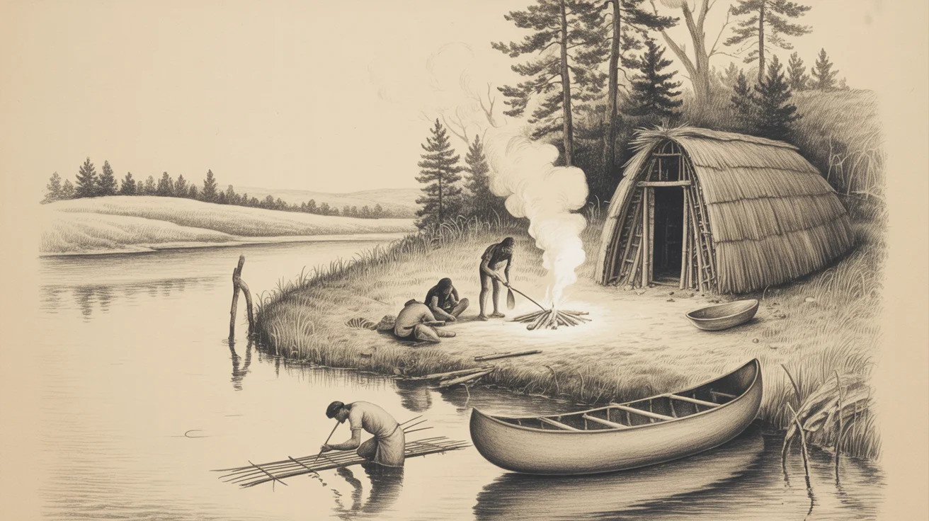
Illustration of Indigenous life along Kingston's waterways — NanoBanana for the Kingston Heritage Project
Long before mills, shipyards, and colonial homes, Kingston was part of a thriving Indigenous landscape. Their history is written into the soil itself — in shell heaps, stone tools, fire marks, and burial grounds that were still visible well into the 19th century.
This article brings together early written accounts, local memory, and modern archaeological findings to tell the deeper story of Kingston's first inhabitants.
Visible in 1815: Shell Heaps, Fire Marks, and Stone Tools
In 1815, Rev. Zephaniah Willis documented what Kingston residents still saw around them: unmistakable evidence of earlier Native habitation. He wrote of:
“shell heaps, fire marks, arrowheads, and stone tools”
and noted “a large Indian burial ground... northeast of the meetinghouse.”
This burial ground would have been located near today's First Parish Church, on the rise of land above the Jones River — a typical location for Indigenous interment sites across coastal Massachusetts.
Shell heaps (middens) found throughout Kingston were not random refuse piles. They were the archaeological signatures of long-term settlement, marking places where families harvested shellfish, cooked, repaired tools, and traded.
A Landscape Shaped by Indigenous Life
Kingston's geography made it a natural gathering place for Native communities:
The Jones River
A tidal river rich in herring, shad, and freshwater resources. It served as a canoe route and seasonal fishing ground.
The Ponds & Wetlands
Indian Pond, Smelt Pond, Blackwater, and the Teal Hole — part of a larger Indigenous resource network for fishing, hunting, gathering, and seasonal camps.
The Massachusetts Path
Long before it became the colonial road from Plymouth to Boston, this was an Indigenous travel route running directly through Kingston. Early settlers simply adopted and widened it.
“the old Indian stories and traditions to be handed down faithfully from father to son.”— Ethel Hobart, 1905
This continuity of memory preserved fragments of a much older cultural landscape.
Modern Archaeology Confirms Deep Indigenous Roots
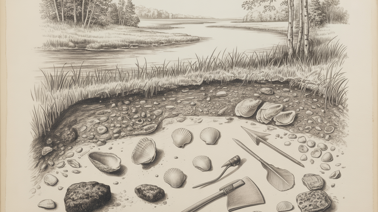
Shell middens and stone tools along Kingston's waterways — NanoBanana for the Kingston Heritage Project
Archaeological work in Kingston has uncovered evidence of thousands of years of Indigenous presence.
The Halls Swamp Site (Kingston, MA)
A major archaeological survey in 2015 identified a Middle and Late Archaic site containing:
- •Over 24,000 artifacts
- •78 cultural features, including hearths and toolmaking areas
- •Evidence of possible house structures
- •A rare stone row feature
“an important cultural landscape”
Archaeologists concluded the site represented long-term Indigenous occupation — confirming that Kingston was a significant settlement zone long before English arrival.
The Burial Ground Near First Parish
Willis's 1815 reference to a large Indigenous burial ground northeast of the meetinghouse aligns with known Wampanoag burial practices:
High ground near water
Proximity to travel routes
Well-drained sandy soil
Sacred communal spaces
The area around today's First Parish Church and the Old Burying Ground is one of the oldest continuously used landscapes in Kingston. While the exact boundaries of the Indigenous burial ground are no longer visible, the historical record is clear: this was sacred ground long before the meetinghouse stood there.
Shell Middens: A Lost Archaeological Resource
Across coastal Massachusetts, shell middens were once enormous — sometimes 10–12 feet high — before being mined in the 1800s for lime and fill. Kingston's middens, noted in 1815, fit this regional pattern and indicate:
Long-term shellfish harvesting
Trade networks
Seasonal or permanent settlement
Toolmaking activity
Most of these middens have since been destroyed by agriculture, road building, and development, making the 1815 documentation especially valuable.
Why This History Matters
Kingston's Indigenous history is not a footnote — it is the foundation of the town's story.
The land remembers through artifacts, place names, and archaeological sites.
The Jones River was a lifeline for Native families long before it powered mills.
The paths and ponds we know today were part of a much older cultural landscape.
The burial ground near First Parish is a reminder that Kingston's earliest residents rest beneath the same soil we walk today.
As Kingston approaches its 300th anniversary, honoring this deeper history ensures that the story of the town begins where it truly should — with the First People who shaped this land for millennia.
References
- Willis, Zephaniah. A Sketch of Kingston, Mass. 1815. Kingston Public Library Local History Collection.
- Hobart, Ethel. “Kingston, Massachusetts.” New England Magazine, July 1905.
- Drew, Thomas Bradford. “Historical Sketch.” In Report of the Proceedings at the 150th Anniversary of the Incorporation of the Town of Kingston, 1876.
- Kingston Public Library. Local History Room Collections (MC-16, MC-29).
- Drew, Emily Fuller. Manuscript Collection MC-16. Kingston Public Library.
- Massachusetts Historical Commission. Halls Swamp Archaeological Survey, Kingston, MA (2015).